
Live Event Photography
Nylon House | Coachella 2025
Aerial and ground photo and video for live events across the Coachella Valley, from major Coachella-season music events like Desert Disco, Nylon House and Desert Rodeo to private brand pop-ups for companies like Rivian, plus rancho birthdays and private parties.
Photography for your event at a rancho, resort, or other desert venue.


Event site 3D scanning
3D scans for event planning and setup.
We fly the venue with the drone and turn the photos into a photoreal 3D model you can orbit, zoom and measure from any angle. Scan the empty site before the event so the stage and production designers can plan from the real ground, or scan the finished build to document the setup.
- Before the event. A 3D scan of the site lets stage and event designers plan the layout accurately around the real terrain, access roads, trees and structures, instead of working from old maps.
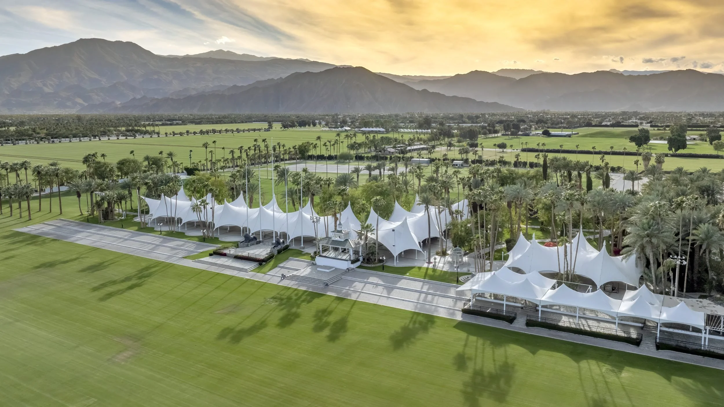
- After setup. Document the finished build: stages, tents, seating, vendors and parking, all in place, as a record for clients, sponsors and next year's plan.
- Easy to share. One link works for producers, vendors, crew and security on a laptop or phone.
Desert International Horse Park · Thermal
One venue, three events.
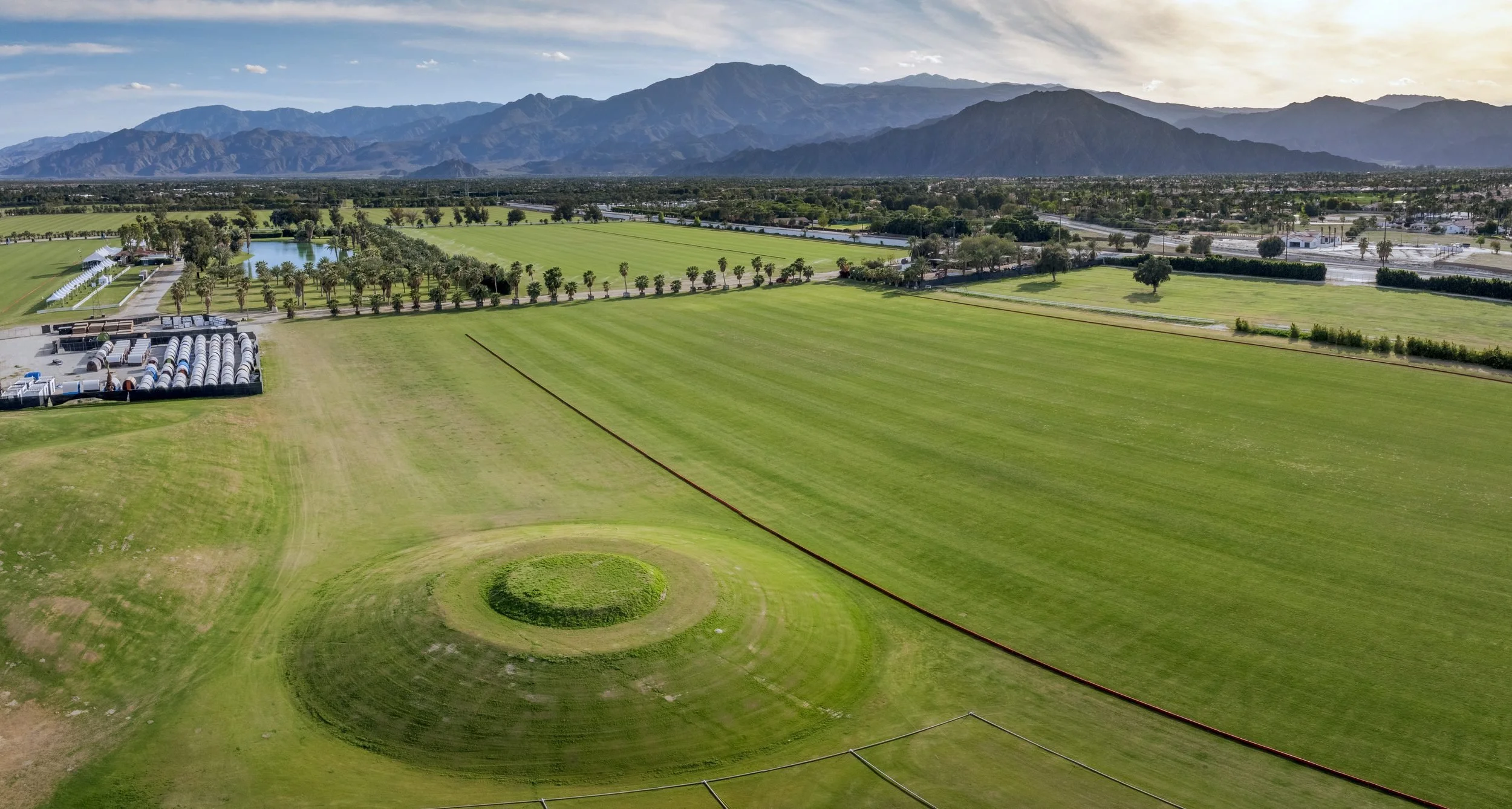
The same ground mapped by drone as horse paddocks before the season, then again for Neon Carnival and Desert Rodeo. Each map is GPS-aligned to the others, so you see exactly what changed on the ground. Drag the slider, tap a stage, or press play.
Before the events: the horse park's open arena and grass paddocks. This is the base map stage and production teams can design on.
Official sites: Desert International Horse Park · Neon Carnival · Desert Rodeo
Photoreal 3D
Walk each build in 3D.
Captured with a DJI Matrice 4E and processed into photoreal 3D (Gaussian-splat) models at Desert International Horse Park, Thermal.

Hi, my name is James and I’ve been building and flying model aircraft all my life, and I’ve always had a love for photography.
Following a career in IT, I turned my passion for flying and photography into a successful small business based in Indio, California. I love what I do and all the interesting ways drones and photography are used to help my clients.